
Spécialiste en téledetection
Scientific Collaborator for Teledetection of Natural Hazards and the Environment
MSc Geology – Portland State University
Joshua completed his Master’s degree (2008) in geology at Portland State University with a focus on engineering geology and landslide susceptibility. He then continued his studies at IRSTEA Grenoble where he completed is PhD (2012) in the field of geomorphology – monitoring the sediment dynamics in debris flow catchments (Manival and Réal) using various field surveys and monitoring stations. He then went on to the Free University of Bolzano for his postdoctoral studies (2013-2015) where he studied debris flow dynamics with LSPIV applications in the Gadria catchment. Geomorphic studies and monitoring were also made in various steep catchments and gravel-bed rivers of the Venosta Valley area. These were mostly studies using bathymetric LIDAR, terrestrial LIDAR and SfM photogrammetry (terrestrial and airborne) to test and compare methods and monitor the sediment processes in the mountain catchments. Afterwards, Joshua started his own consulting in Grenoble providing SfM photogrammetric aerial surveys and geomatic / geomorphic analysis for EU funded research projects, ONF-RTM and EDF. Since 2022, he has been a scientific collaborator at CREALP in the fields of natural hazards, geomatics and geomorphology.
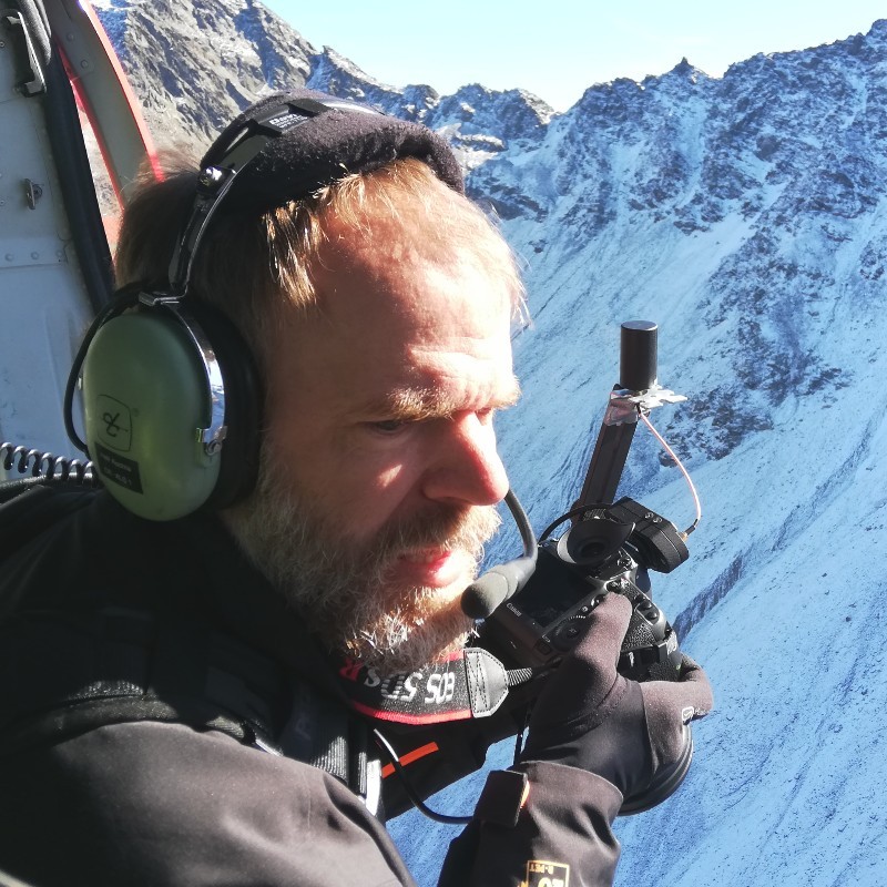
Joshua’s activities and interests include various topics of environmental monitoring in mountain environments. He is active in SfM photogrammetric surveying using aircraft and BVLOS drones for catchment and regional scale applications for monitoring environmental changes. 3D point cloud analysis and change detection of natural hazards is a main repertoire of his. He is involved with innovative and interdisciplinary projects in a variety of fields with a motivation to provide robust databases of meaningful measurements for understanding environmental processes.