
Flood hazard maps (Cameroon)
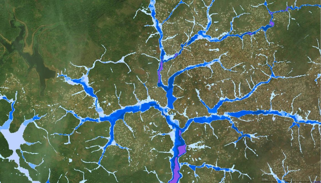
Flood hazard mapping for cities in Cameroon CREALP took part in the “Building Capacity for Resilient Urban Development and Integrating Climate and Disaster Risk Considerations into Urban Planning” project managed by the World Bank. The aim of the project was to contribute to increasing the resilience of Cameroon’s cities to the risk of flooding by drawing up hazard maps to enable better planning of urban development, taking into account the risks to… Read More
Spatial Reference Information System | Floods
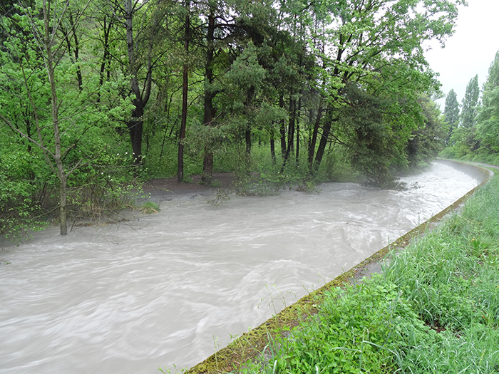
A Spatially Referenced Information System for managing hydrological hazards in the canton of Valais SIRS-CRUES is one of a series of spatially referenced information systems (SIRS) set up by the canton of Valais to optimize the use and enhancement of information contained in natural hazard studies (avalanches, floods, ground instabilities). SIRS-CRUES records information relating to hydrological hazards. Developed on the initiative of the Natural Hazards Service(SDANA) and with the collaboration of the… Read More
International cooperation > Flood forecasting (Ecuador)
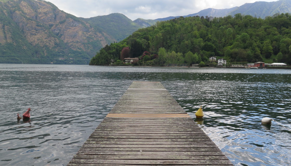
Development of a hydrological forecasting system in Ecuador CREALP supported INAMHI, the technical-scientific entity responsible for the production and dissemination of hydrometeorological information in Ecuador, in the design of a simulation model and the development of an automatic real-time forecasting system. The support provided consisted of a training course in hydrology using the RS MINERVE software, as well as technical support for the development of a model of the Coca watershed. This… Read More