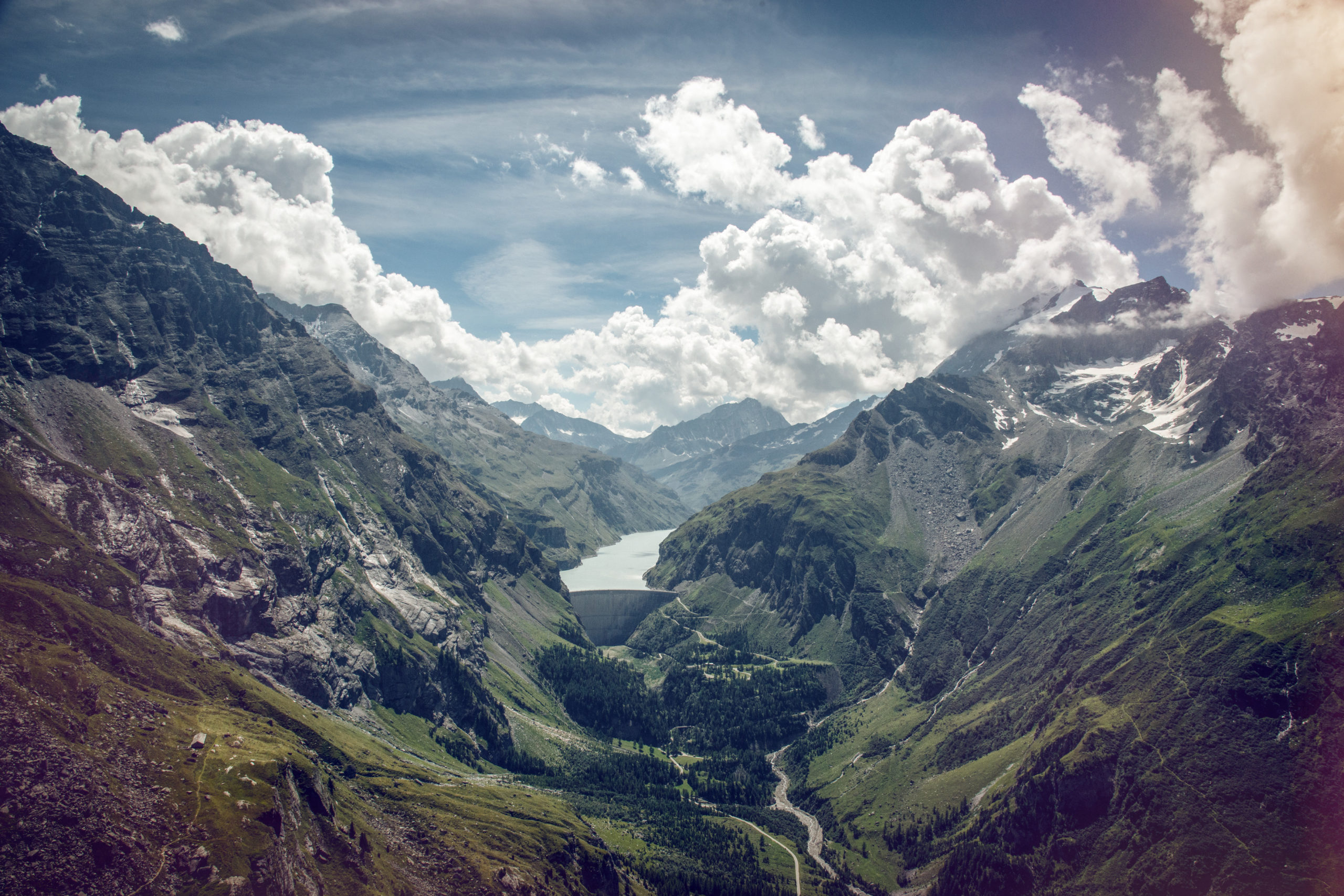
Environmental monitoring
CREALP collects, manages and distributes a vast amount of geological and environmental data. The ultimate aim is to enhance the value of the information collected by making it available to users (cantons, municipalities, engineering firms, etc.).
The tools and platforms we develop are adapted to the specific needs of each customer, as well as to the particularities of the data presented and the working context.
New technologies make data collection even more efficient. Given the sheer volume of information, our team is working to set up fast, robust and user-friendly sharing systems.
Our services
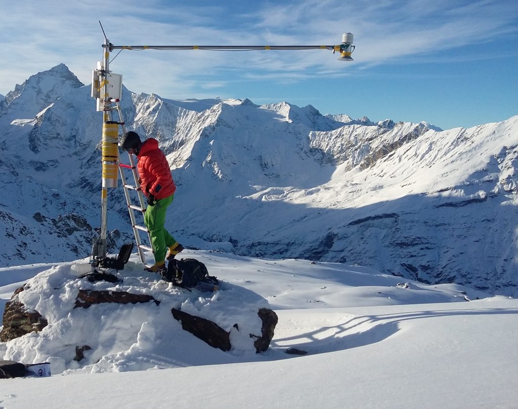
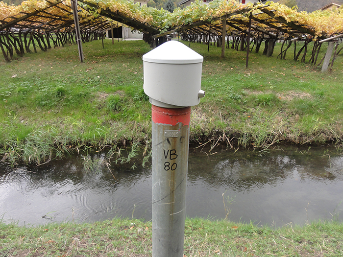
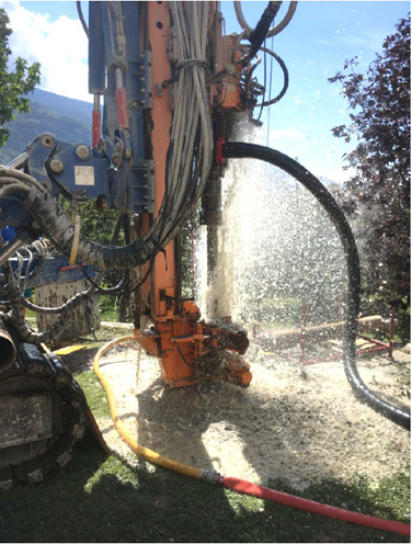
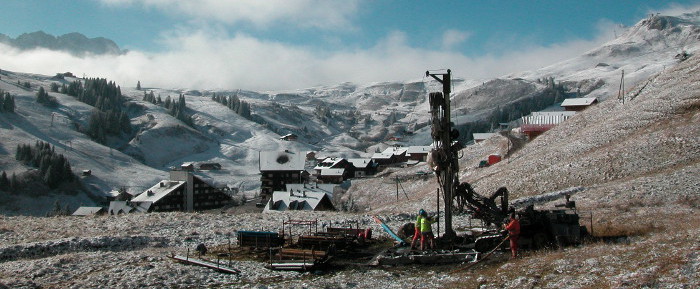
Measurement networks
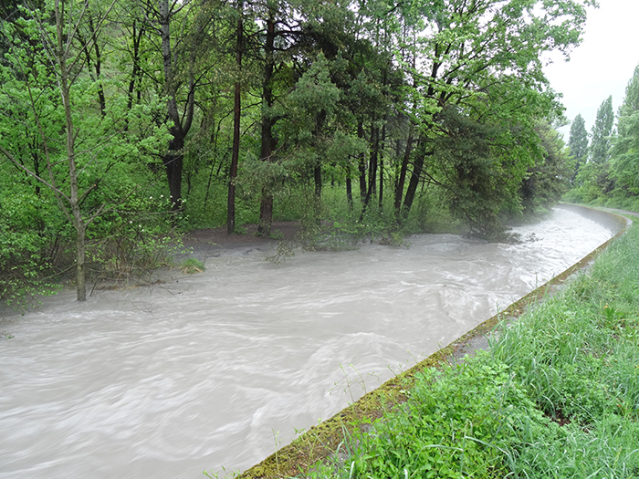
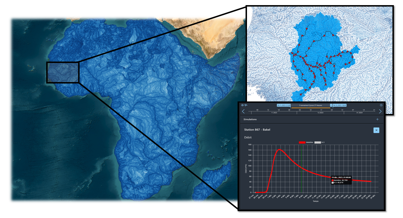
CREALP is responsible for the installation and maintenance of several measurement networks:
- Networks of piezometric stations for groundwater monitoring.
- Networks of hydrometric stations dedicated to alarm and intervention plans and to the MINERVE flood forecasting system.
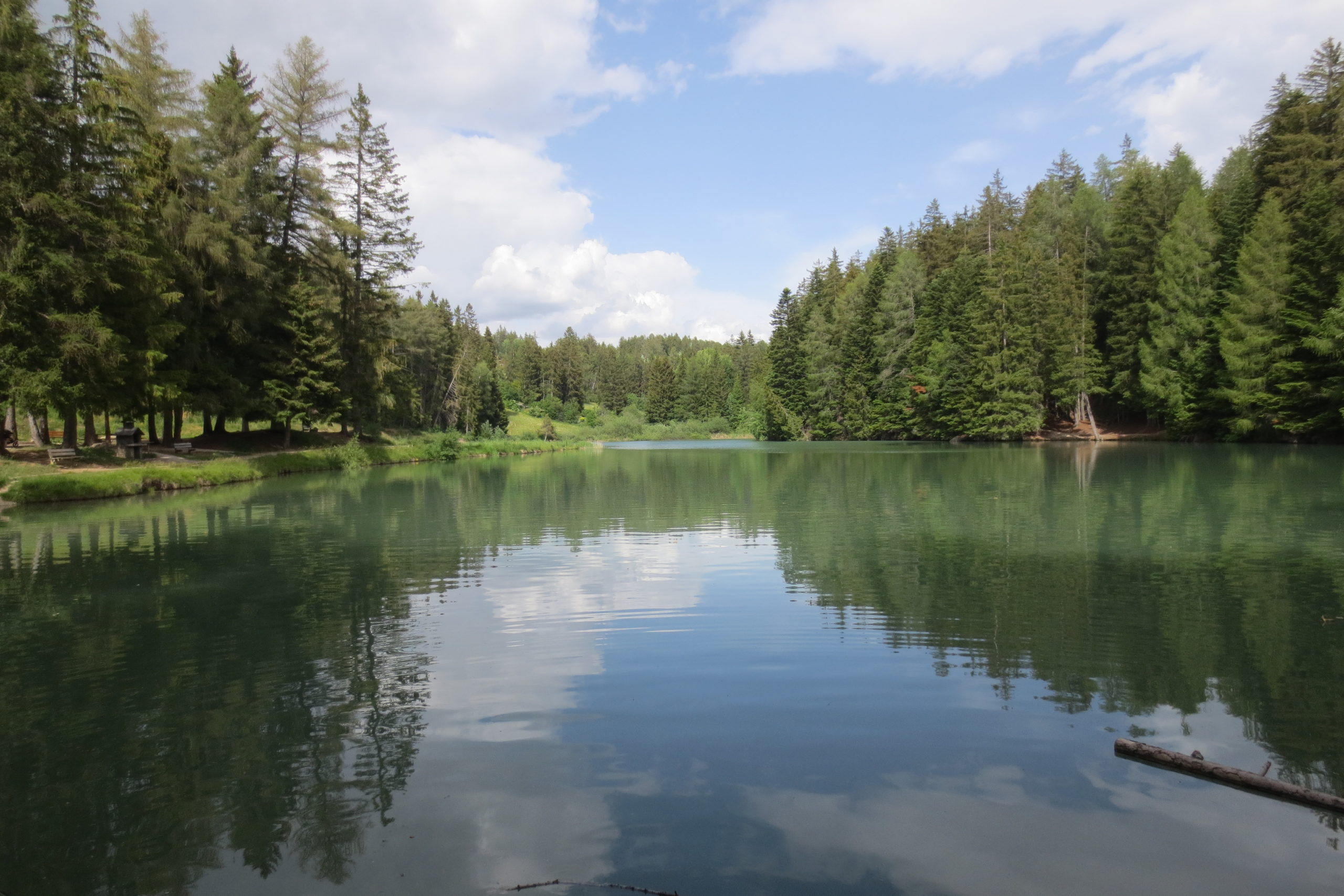
- Surface water quality monitoring.
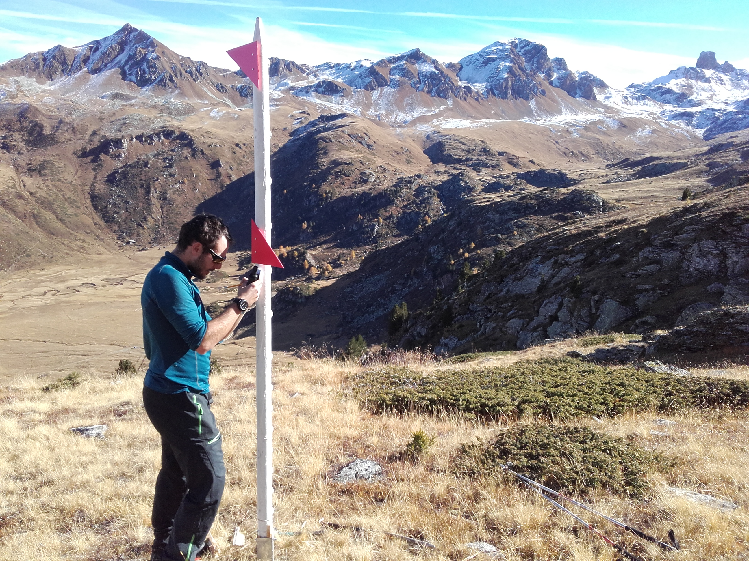
- Stations dedicated to research and risk management, such as weather stations, snow gauges, webcams or GNSS.
Databases
CREALP offers a set of skills and tools for the development and management of spatio-temporal data infrastructures. It provides institutions with the means they need to manage business data related to resources and natural hazards.

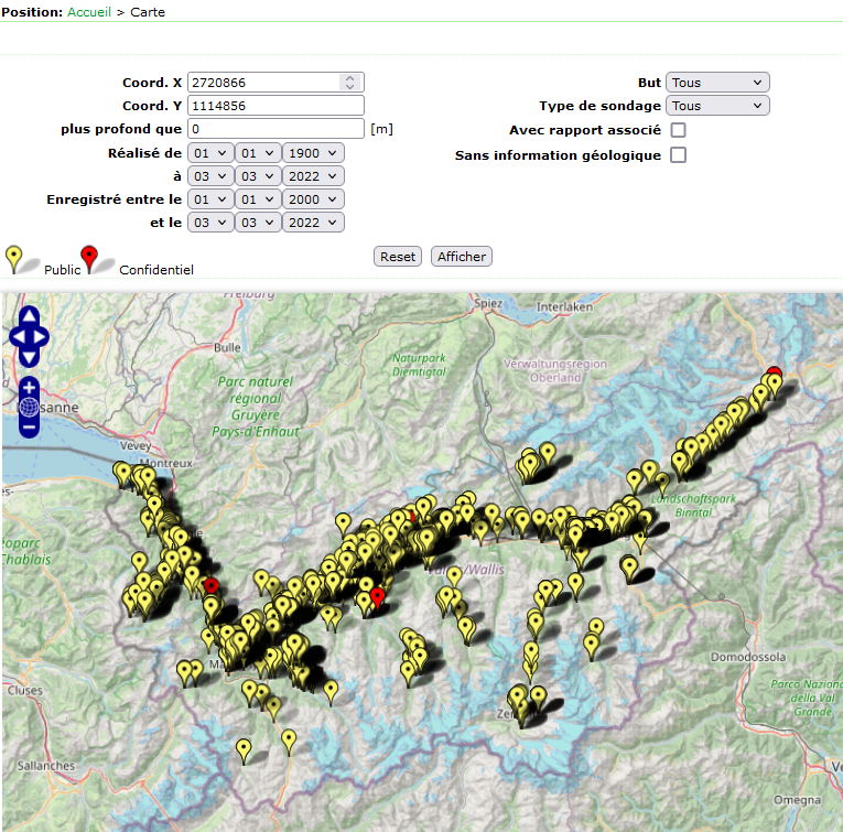
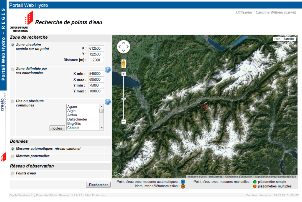
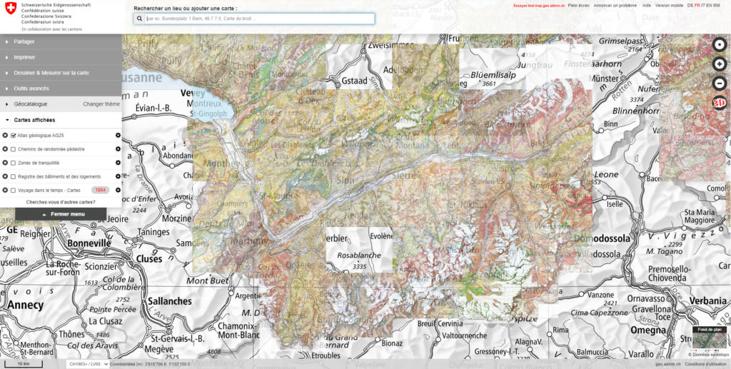
Consultation portals
CREALP designs and maintains specialized web portals, providing access to information from the various institutional databases containing information on groundwater, the nature of the subsoil, surface water, land instabilities and meteorological and climatic data.
These web portals, composed of cartographic interfaces, aim to facilitate data sharing and interpretation, and provide decision support.
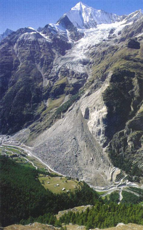
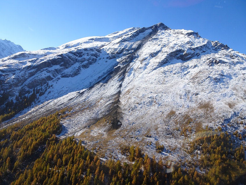
Thematic subsurface maps
CREALP uses quantitative and qualitative data on groundwater and subsoil to produce cartographic products and 3D models. For groundwater levels, for example, CREALP is developing new reference maps (standard). 3D geological models help plan drilling activities and manage the subsoil. CREALP also produces decision-support and risk-analysis products for competent authorities and public bodies. They are produced using robust scientific methods recognized by the academic world.
Maps – Earthquakes | Valais: Soil foundation maps & spectral seismic microzoning maps (MSS) – Consult and download studies
Geological atlas | Valais: Geological atlas of Switzerland 1:25,000 – Consult and advance Valais maps
Tectonic map | Switzerland: Tectonic map of the Alps of western Switzerland and neighbouring regions at 1:100,000 – A reference publication on the geology of the Alps
Mineral raw materials map | Valais – Bernese Oberland: Mineral raw materials map of Switzerland at 1:200,000 (Sheet 2: Valais – Bernese Oberland) – A unique inventory