
GEOTHERMOVAL project
Inventory of the hydrothermal capacities of the Canton of Valais through the study of resurgent hydrothermal springs Initiated in 1988, the GEOTHERMOVAL program was designed to research, evaluate and develop potential geothermal resources in the canton of Valais as an alternative energy source, in particular for space heating and domestic hot water. This geothermal prospecting program was carried out by the CRSFA (Centre de Recherches Scientifiques Fondamentales et Appliquées de Sion, formerly… Read More
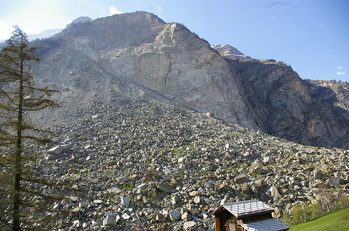
Randa rockfall (1991)
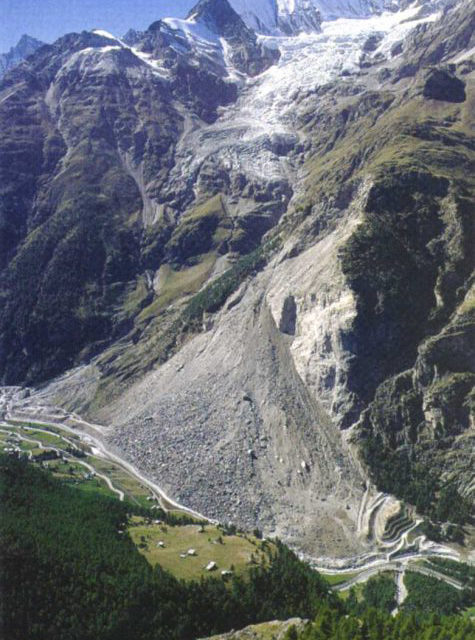
The data collected on this site has been an essential source of knowledge for analyzing the behavior of the Grossgufer massif and managing the associated risks. Preamble In the spring of 1991, the village of Randa in the Mattertal valley, some 5 km downstream of Zermatt, was the scene of one of the largest rockfalls in Europe in the 20th century, along with that of Val Pola (Valtelline, Italy, 1987). In all,… Read More
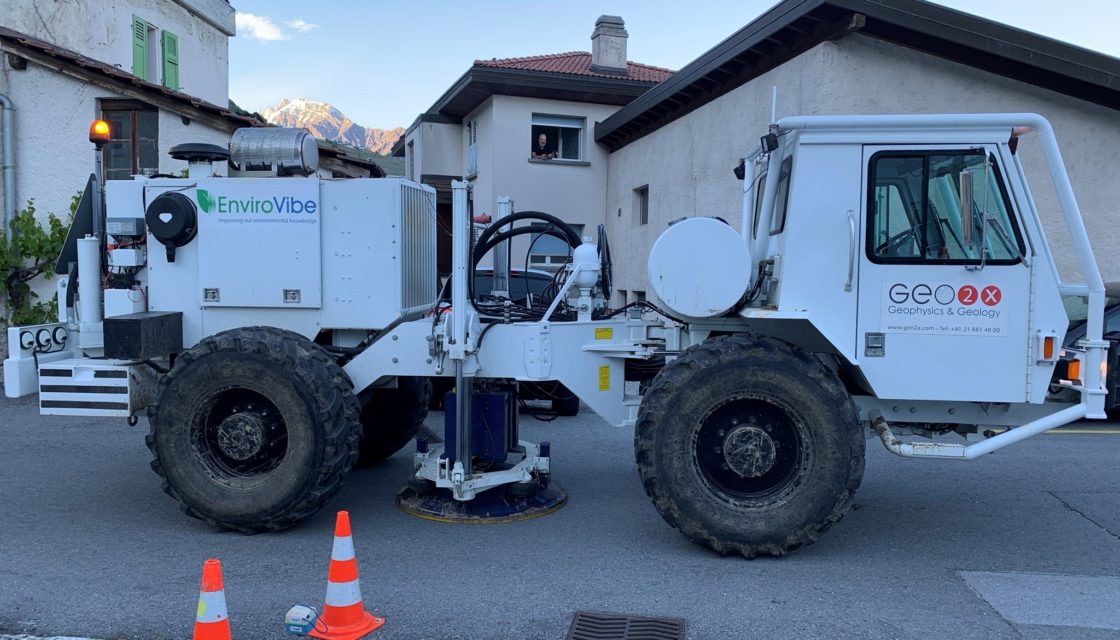
Matterock methodology
A methodology for monitoring cliffs and detecting potential major landslides The major rockfall at Randa (Valais, Switzerland) in the spring of 1991 (30 Mom3) highlighted the scientific shortcomings in predicting such catastrophic events. It was therefore decided to develop a cliff monitoring methodology that would provide a better understanding of the phenomenon of cliff instability and anticipate potential rockfalls. This methodology, called MATTEROCK, was developed as part of the National Research Program… Read More
ToolMap
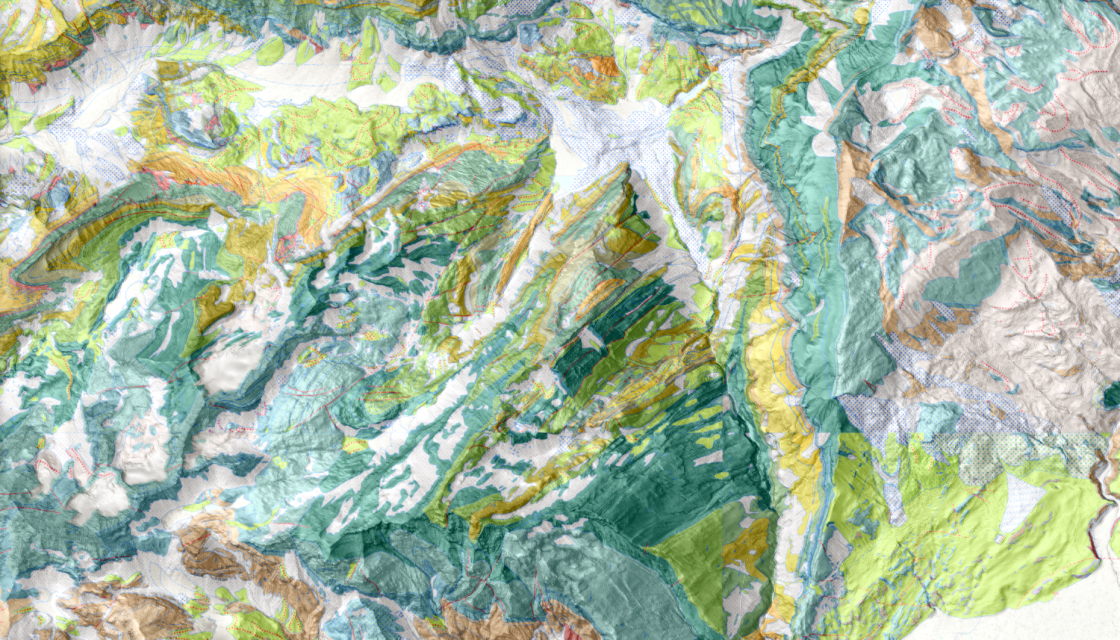
Modelling, vectorization and export of geological information in GIS format Presentation ToolMap is a software for modelling, vectorizing and exporting information in GIS form. It is designed to support the practitioner in the various phases of creating a complex GIS. It was originally developed to facilitate the vectorization of geological maps, but its scope of application is much wider. For example, it can be a valuable tool for the creation of natural… Read More
Mountain instability monitoring
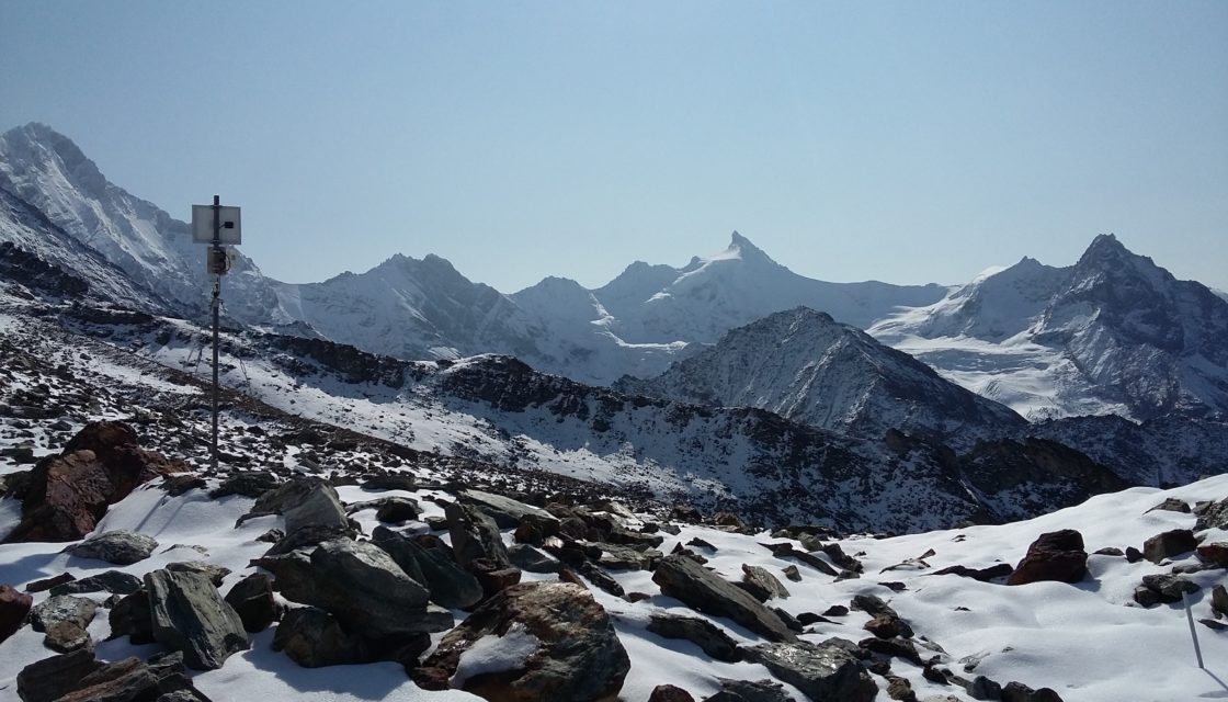
In alpine regions, the ability of icy soils to stabilize rocky slopes is diminishing, and water infiltration into the systems is increasing, changing the effective stresses. Today, there is an urgent need to better understand how certain natural hazards are triggered in the high mountains, and to develop new warning tools to improve risk management. The aim of the Monitoring des instabilités de haute montagne (MIHM) project , carried out by CREALP… Read More
Water resources management (Peru)
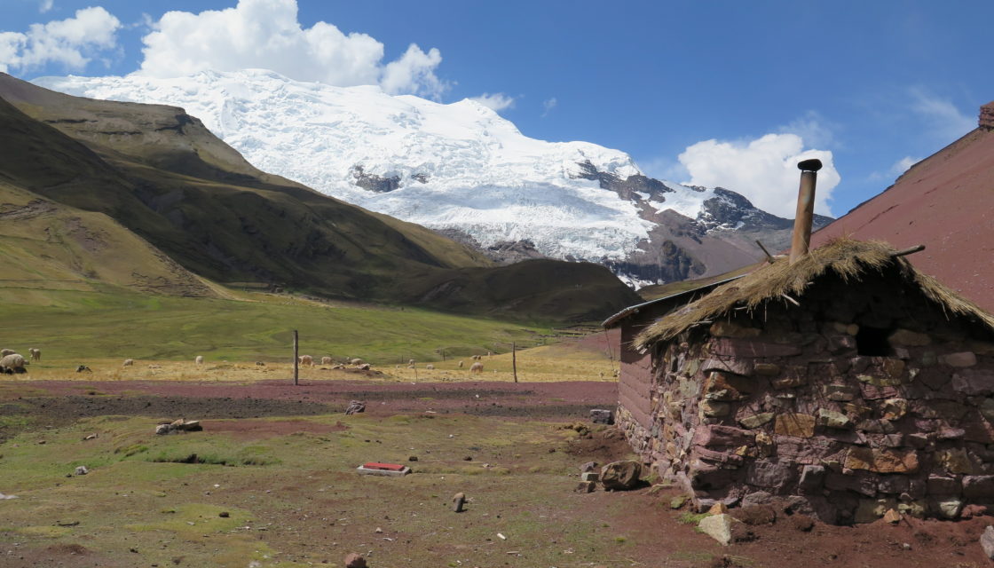
Glaciers + Project > Optimal management of water resources in mountain regions and in a context of climate change, Peru The multi-objective Glaciers+ project(Proyecto Glaciares+) was launched following the Glacier 513 project, which highlighted the potential of optimal water resource management in the Chucchún Valley. The aim of Glaciers+ was to reduce the risks associated with glacier retreat (flooding, block falls, etc.), and to optimize the management of water resources in mountain… Read More