
Spatial Reference Information System | Floods
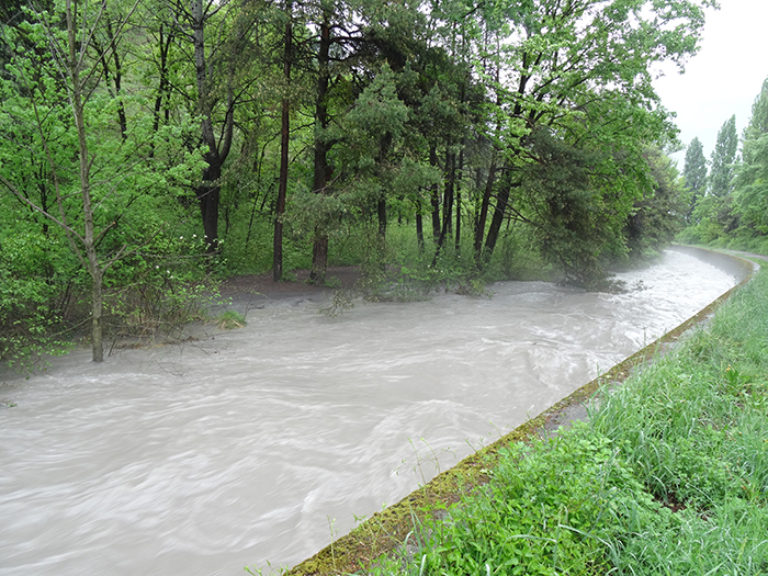
A Spatially Referenced Information System for managing hydrological hazards in the canton of Valais SIRS-CRUES is one of a series of spatially referenced information systems (SIRS) set up by the canton of Valais to optimize the use and enhancement of information contained in natural hazard studies (avalanches, floods, ground instabilities). SIRS-CRUES records information relating to hydrological hazards. Developed on the initiative of the Natural Hazards Service(SDANA) and with the collaboration of the… Read More